Temple University, The Center For Sustainable Communities, & The Department Of Geography and Urban Studies Present:
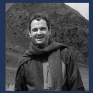
Jesus A. Anaya, Faculty of Engineering (Universidad de Medellin - Colombia)
"Burned area detection based on time-series analysis in a cloud computing environment"
Satellite data products on Global burned area involve large omission errors. This presentation shows the combination of remote sensing methods and state of the art cloud computing infrastructure to improve the detection of burned areas. The research uses the Google Earth Engine GEE platform to derive time series metrics of burned area from the satellites Landsat 5-TM and 8-OLI. Then it tests the ability of such time series metrics to discriminate between burned and unburned areas. The method is tested in three regions of Latin America characterized by large fire recurrence: The Amazon Forest in Colombia, the transition from Chiquitano to Amazon Forest in Bolivia, and El Chaco Region in Argentina. The method achieves an accuracy of 63-85% in the classification of burned area in the studied areas.
J.A. Anaya-Acevedo is in the Engineering School at the Universidad de Medellín, Colombia where he leads the research area of Geomatics Applied to Natural Resources at the Doctoral level. Dr. Anaya received his PhD in remote Sensing in 2009, from the Universidad de Alcalá, Spain and his Master of Forestry in 1998, with emphasis in Hydrology from Oregon State University, USA. His work focuses on the development of remote sensing and cloud computing methods for Land cover mapping and quality assessment of burned area data maps in tropical regions.
